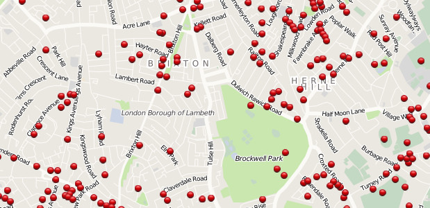
A new project called Bomb Sight has produced an interactive website that maps the London WW2 bomb census data recorded between 7/10/1940 and 06/06/1941 – and it’s clear that Brixton took a bit of a hammering along with the rest of London.
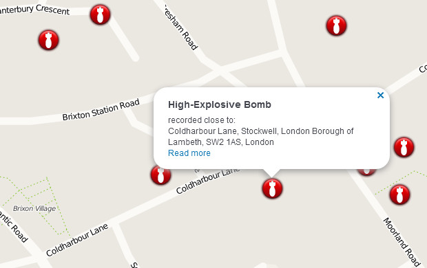
The project has scanned original 1940s bomb census maps, geo-referenced the maps and digitally captured the geographical locations of all the falling bombs recorded on the original map.
The website lets you search or zoom into areas on a London map, with each bomb site marked by a red dot.
Clicking on the dot gives you more information about the loction and type of bomb.
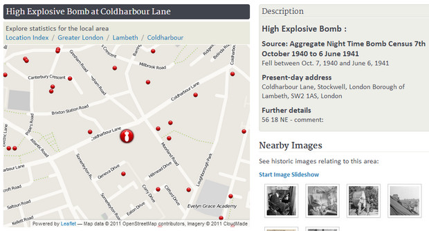
The map is designed to resize to fit any device, and there’s also an Android app that offers augmented reality views.
The project was managed by Dr Catherine Emma (Kate) Jones at the University of Portsmouth – see the full team credit here.
View the map here: http://bombsight.org




The reason our house and the three next to it exists is because of a WWII bomb. The original properties were destroyed and replaced by lockup garages until they were pulled down around 1990 which is when our houses were built. It’s not on that map, though.
I was born in 101, Loughborough Road on the 29 of May 1940, the house is still standing but next door was flattened during a bombing raid. The space left is now a school.
I spent the first few months of my life in the Anderson shelter in the back garden.
could i see the v1 bombsite in gregory cres, just next to middle park school yard.i lost my mother and my oldest brother tony,he was 16,i think it was in 1943..would there be compensation for such a loss.i was 5 at the time..i think it was se12. my email address is peterscotthughes@gmail .com my home phone no is07982720663
Dyou think theyl make one for bagdhad