Amersham to Chalfont St Giles walk, The Chilterns, Bucks
Report by urban75 editor, Jan 2006
A winter walk through the Chiltern hills (9 miles approx).
The walk starts at Amersham station - reachable by the Metropolitan Line from Baker Street or just a 35 min train journey from Marylebone station.
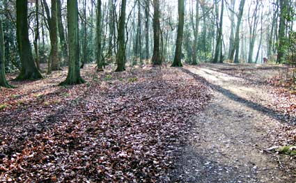
Turn left out of the station, left under the bridge, and then immediately cross the road and go up a path adjacent to the railway embankment. When the path reaches a road, turn left, walk a few yards along the pavement and then turn into the woods.
This part of the walk is quite popular with locals as it connects the main town of Amersham with Old Amersham at the bottom of a long hill.
From 1892, the village of Amersham developed around the station instead of the old town because the local toff-tastic Drake family wanted to preserve the view from their mansion.
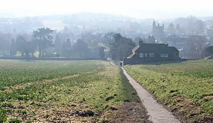
Walking out of the woods towards Old Amersham. Turn left at the bottom of the hill to cross the River Misbourne.

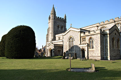
Entering Amersham churchyard, you can see the large church, parts of which date back to the twelfth century.
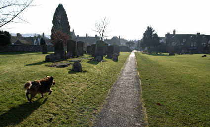
After walking through the churchyard, turn left and proceed east along Amersham High Street.
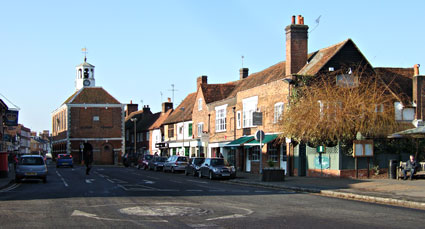
Looking back at the attractive town centre buildings.
Keep walking east (i.e in the opposite direction to this view) until you come to a roundabout at Gore Hill.
Go straight on cross the road before taking a path which appears on your right hand side, some ten yards from the roundabout.
This bears left into a field. Follow the path through the field, veering right, and go under a small road bridge (with some pathetic graffiti!), follow the path around to the left and then you're on the main path to Chalfont.

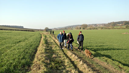
The path heads south-east along the bottom of a valley and follows the route of the River Misbourne (to the right in this picture) and the annoyingly obtrusive A413 road.
The route is clearly marked with regular signs and is basically straight on all the way to Chalfont.
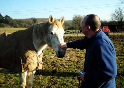
We passed through a pasture of sheep, went by a field of shy cows and encountered some friendly horses.
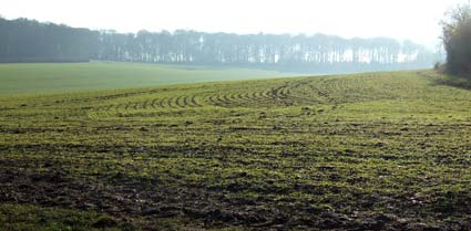
Looking west towards High Wood from the route.
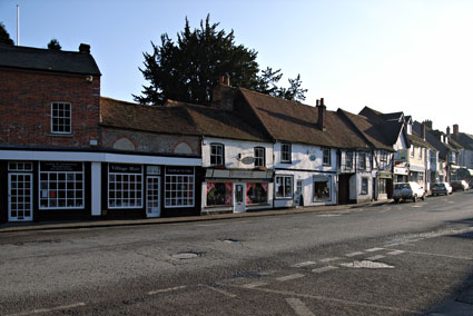
After passing a horrible, Barret Homes-esque 'upmarket' development along the path, we arrived at the attractive village of Chalfont St Giles.
According to a 1925 book by the English Place-Name Society, the first record of Chalfont occurs as 'Ceadeles funta' (Ceadel's spring) in 949 AD, with the village appearing as Celfunte and Celfunde in the Domesday Book (1086).
Much faffing about the name continued for centuries with the earliest recorded reference to Chalfont St. Giles being Chalfund Sancti Egidii in 1237 and Chaufuntseyntegyle in 1262.
A slow growing village, the 1951 census records a population of 4,544, up from 1,762 in 1911, 1,217 in 1861 and 762 in 1801

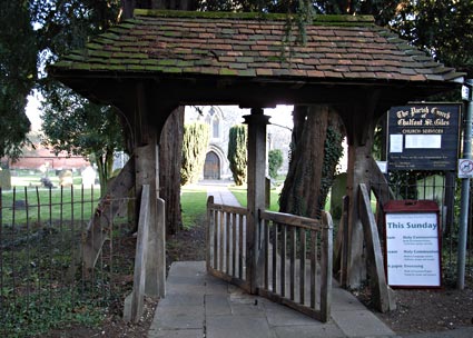
At the entrance to the Parish Church of Chalfont St. Giles is this fabulous revolving lych gate.

The original church was built between 1150 and 1180, and much restored in Victorian times.
In the 1920s, plasterwork on the interior south wall fell away to reveal 14th century murals.
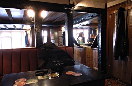
Thirsty after our walk, we sought some ale.
The nearest pub, the Merlin's Cave was given the cold shoulder on account of the fact that: (a) they couldn't make their fecking minds up whether dogs were allowed in or not and (b) it looked rubbish inside.
Instead, we made a beeline for an old, no-nonsense boozer called The Feathers.
Despite an initial unwelcoming appearance -the smoky pub seemed to be inhabited solely by chain-smoking, beefy looking geezers with gnarly dogs - it turned out to be a friendly pub with an obliging landlord.

The Deuchars IPA (India Pale Ale) was lovely!


Unfortunately, the short winter days meant that we barely had time to scoff some crisps and wolf down a pint before we had to head home - no one fancied trudging over Buckinghamshire hills in the dark!
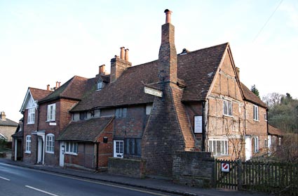
We took a quick diversion to check out Milton's Cottage.
John Milton beat a hasty retreat to Chalfont St Giles during the Great Plague of 1665, and completed his epic poem, Paradise Lost here.
The inspiration for Paradise Regained is said to have from a conversation with one of the local parishers.
The sixteenth century cottage was bought by public subscription in 1887 to prevent it being dismantled and shipped off to the US.
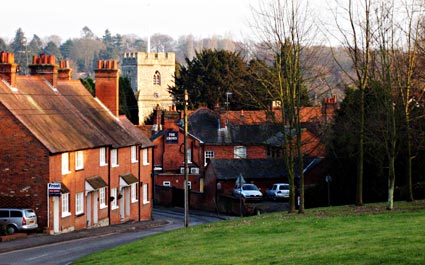
The return leg of the walk started at Silver Hill (almost opposite the church), where we climbed a hill, veering right on to Dodds Lane and then crossing Mill Lane onto Hill Farm Lane, a narrow metalled road.
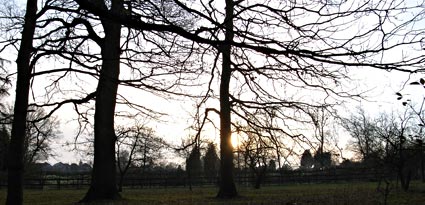
We climbed up Hill Farm Lane past a few more 'upmarket' houses being built before reaching a muddy path, heading north-west.
By now, the temperature had plummeted so low that the mud was frozen hard and teeth were chattering!
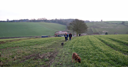
After mulling over a potentially disastrous wrong turn, we correctly worked out that we needed to veer right and head north at an intersection past Hill Farm.

The path took us down into Upper Bottom House farm - at the bottom of a shallow valley on Bottom House Farm Lane - and then up the opposite hill.
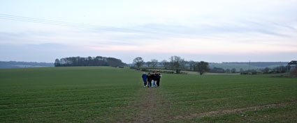
Exposed on barren, wind-swept, open fields the intrepid walkers formed a mobile huddle for warmth.
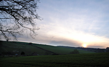
It may have been chuffing freezing, but the scenery was beautiful.

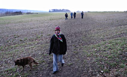
With the sun sinking lower in the sky, temperatures were plummeting so we cranked up our walking speed.
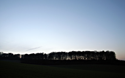
Passing Rodger's Wood as we headed into Old Amersham.
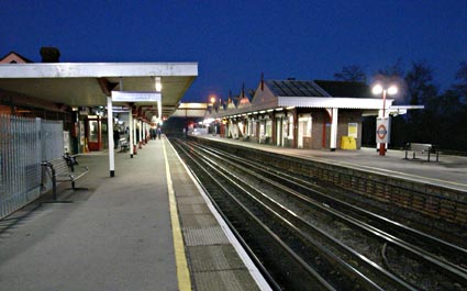
Back at Amersham station.
Fortunately, there's an excellent train service into London (every 30 mins) so were soon on a warm train and hotfooting it back to Brixton in time for a big night out. Lovely!
(Tech note: Most pics taken on a Ricoh GRD digital compact, and also a Fuji F11 digicam)
|

