Cycling the Plym Valley Way
Plymouth to Yelverton along a disused railway line
(Photos/words © urban75, May 2007)
After arriving in Plymouth we got a bit lost and had to ride along a pretty hideous cycle track wedged next to a stretch of dual carriageway before picking up the Plym Valley route at Marsh Mills.
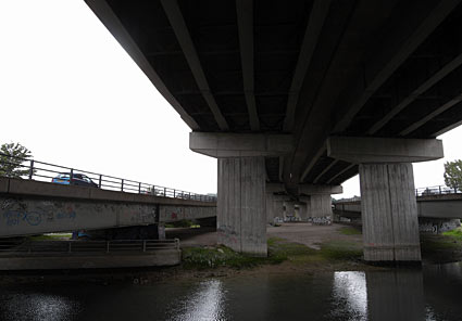
The route to Marsh Mills was pretty grim, with the cycle track being routed around supermarkets and under some ugly flyovers.
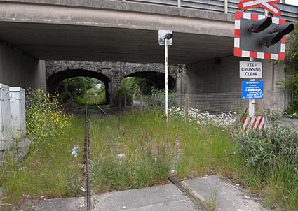
At Marsh Mills the cycle track runs alongside a rarely used freight line.
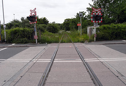
We passed a couple of level crossings although it looked like there hadn't been a train on these tracks for some time.
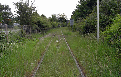
Overgrown tracks on the way to Marsh Mills.
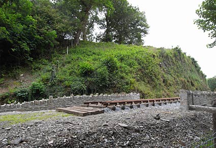
We passed a preserved stretch of railway, owned by the  Plym Valley Railway who aim to re-build a 1.25 mile stretch of the line that once reached across to Launceston, via Tavistock. Plym Valley Railway who aim to re-build a 1.25 mile stretch of the line that once reached across to Launceston, via Tavistock.

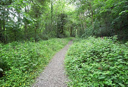
After the noise and bustle of the A374, it was great to enjoy a ride through this quiet wooded glade.
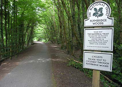
Cycling through Plymbridge Woods - a 2 mile stretch of National Trust woodland with a huge variety of tree species and habitats - on the route of the old railway line.
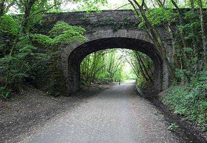
Old bridge over the railway.
The route was great to ride along with a well kept asphalt surface which made cycling easy, even if we were almost permanently on an 'up' gradient.
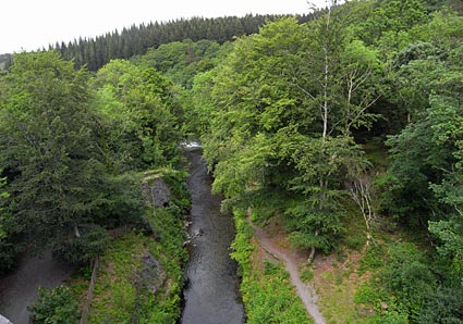
The Plym Valley Way took us over several high viaducts affording great views.
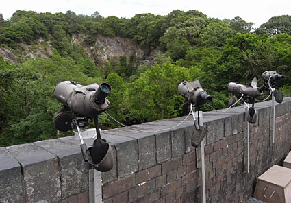
A series of telescopes had been kindly set up to allow passers by admire a pair of peregrine falcons nesting in a nearby quarry.
 Peregrines at PlymBridge Wood. Peregrines at PlymBridge Wood.

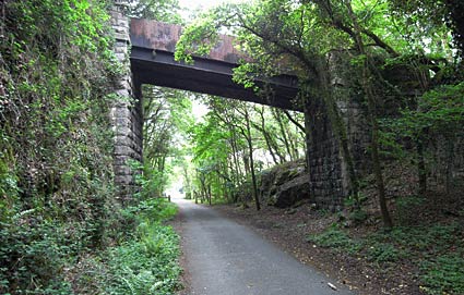
Old bridge.
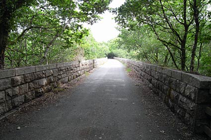
Crossing another large stone bridge.
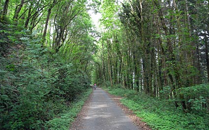
Before its closure in December 1962, the route to Yelverton must have made for a beautiful railway journey, passing through quiet forests and high viaducts.

Foxgloves on the wayside.
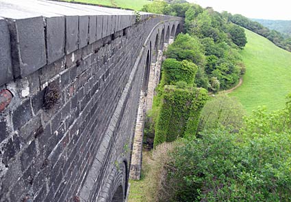
Crossing another high viaduct. To the right you can see the piers of the earlier, timber built bridge.

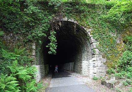
After passing Shaugh Bridge platform, the route goes through a tunnel, which was fun to ride through.
Designed and constructed by the Great Western's legendary engineer, Isambard Kingdom Brunel, the curving tunnel was cut through solid rock.
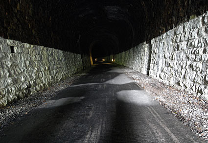
Although there's some electric lights marking the route, it gets pretty dark and it felt odd cycling along in the dark.
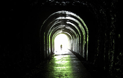
Nearing the exit.
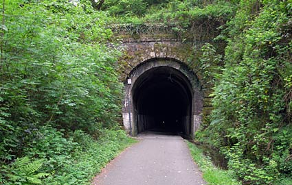
Looking back at the northern entrance.
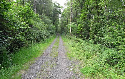
As we neared Clearbrook, the track became considerably rougher, with our poor folding bikes getting a right hammering on the gravel.
We the had to push them up a mighty steep path to reach the minor road into the fabulously named village of Hoo Meavy.
« Devon photos home Shaugh Bridge Platform»
|
|

